Coordinates
53.4808, -2.2426
Population
2.8+ million (metro)
Area
1,276 km² (metro)
Founded
79 AD (as Mamucium)
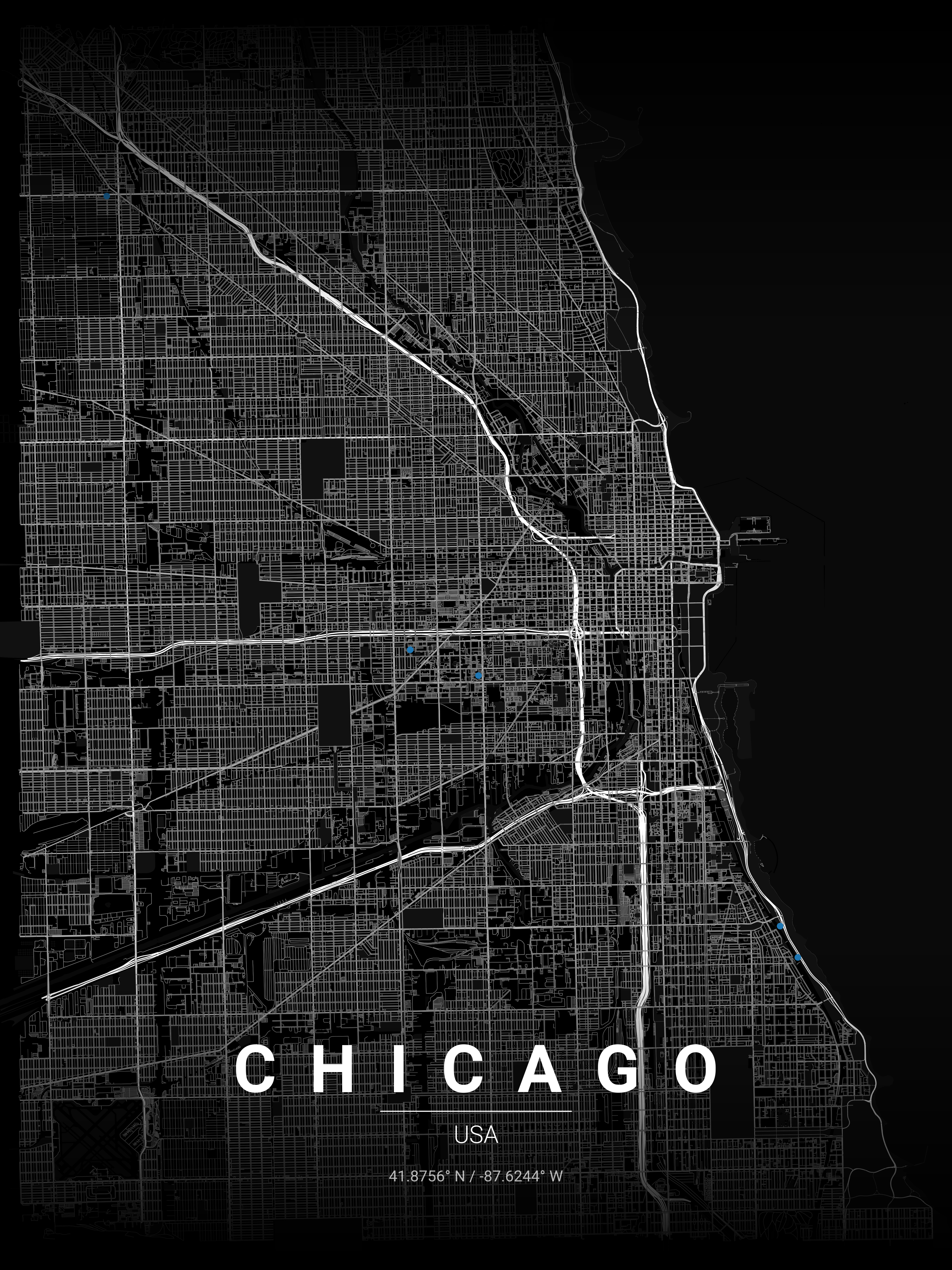
The Urban Fingerprint
“Manchester's mix of historic streets and modern development makes it ideal for city map art. A Manchester map print captures the city's industrial heritage and urban charm, perfect as a gift or home decoration.”
Manchester (centre: 53.4808°N, 2.2426°W) bears the imprint of the world's first industrial city: canals built in the 1760s–1800s form distinctive linear corridors through the urban fabric, while radial routes connect Victorian mill towns to the city core. The Northern Quarter's tight Georgian grid sits beside modern MediaCityUK's planned layout. A Manchester map poster is the definitive gift for anyone with a connection to this city of firsts.
Interior Styles That Work
Recommended Theme
Contrast Zones
Our editors' pick for Manchester's unique street character and architectural heritage.
What You Get
Professional Grade
Manchester Map Prints
Vector SVG Export
Infinitely scalable — print at A0, A1, or any custom size.
300 DPI PNG
2400×3400px. Ready for any professional print shop.
17 Curated Themes
From Noir to Neon Cyberpunk — choose what fits your space.
Real OpenStreetMap Data
Every street in Manchester sourced in real time.
Technical Specifications
Technical Specifications
Map Download Specs
| Export Formats | Vector SVG · High-Res PNG |
| PNG Resolution | 2400 × 3400 px · 300 DPI |
| SVG Quality | Infinitely scalable vector |
| Print Sizes | A0 · A1 · A2 · 50×70 cm · 24×36 in |
| Colour Themes | 17 curated artistic styles |
| Map Data | OpenStreetMap (real-time) |
| Processing | Browser-based · No upload |
| Price | Free — no account required |
Map data © OpenStreetMap contributors · ODbL License · isBasedOn: openstreetmap.org
FAQ
Frequently Asked Questions
How do Manchester's canals appear on map prints?
Manchester's extensive canal network creates distinctive linear patterns across the city. The Bridgewater, Rochdale, and Ashton canals form unique geometric shapes that highlight the city's industrial heritage.
Which Manchester areas are most popular for map prints?
The city centre with its Victorian warehouse districts is very popular. Many customers also love the Northern Quarter's tight street grid, or Castlefield's canal basin area for its historical significance.
What makes Manchester maps special?
Manchester's map shows the story of the Industrial Revolution — radial routes from the city centre, canal networks, and Victorian planning. It's perfect for celebrating the city's rich heritage and modern regeneration.
Explore More Cities
Ready to Start?
Generate Your Manchester Map
Free. No account. Vector SVG + 300 DPI PNG. Any city. Instant download.
Coordinates: 53.4808, -2.2426
Generate Free Manchester Map Poster