Coordinates
51.5074, -0.1278
Population
9+ million
Area
1,572 km²
Founded
43 AD (as Londinium)
The Urban Fingerprint
“London's historic streets and iconic landmarks make it an ideal subject for city road map art. From the winding roads of Westminster to the structured avenues of Canary Wharf, every map captures the city's unique rhythm. A London map print is perfect as a gift, home décor, or a memory of your travels.”
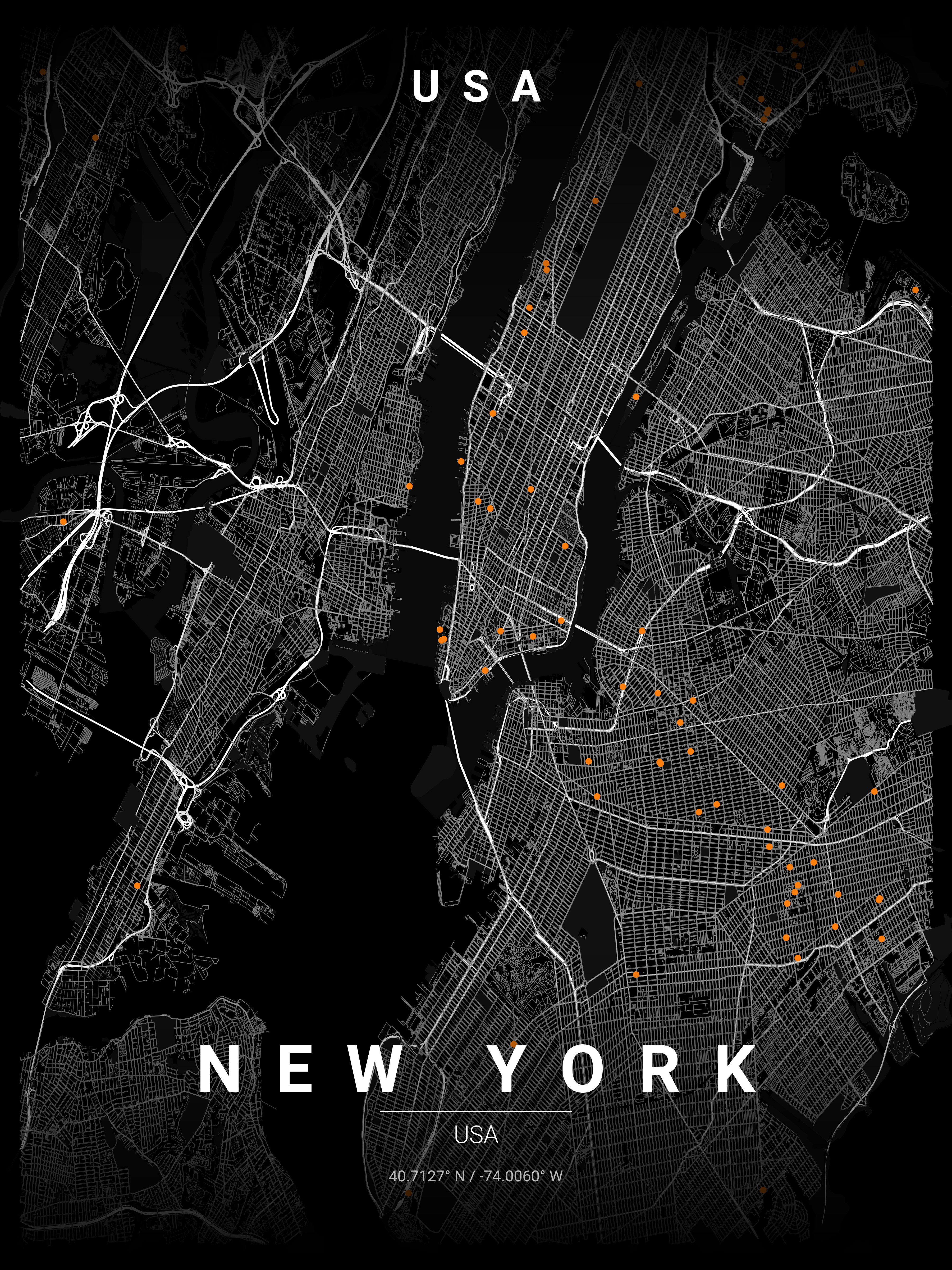
London's road network (centre: 51.5074°N, 0.1278°W) is shaped by 2,000 years of organic growth — Roman roads, medieval lanes, Georgian squares, and Victorian arteries all visible in a single print. The Thames curve and radial routes from the Square Mile create an immediately recognisable silhouette ideal for Noir or Blueprint wall art. Our vector export captures every alleyway at 300 DPI, making printcityroad.uk the optimal source for a large-format London map poster.
Interior Styles That Work
Recommended Theme
Noir
Our editors' pick for London's unique street character and architectural heritage.
What You Get
Professional Grade
London Map Prints
Vector SVG Export
Infinitely scalable — print at A0, A1, or any custom size.
300 DPI PNG
2400×3400px. Ready for any professional print shop.
17 Curated Themes
From Noir to Neon Cyberpunk — choose what fits your space.
Real OpenStreetMap Data
Every street in London sourced in real time.
Technical Specifications
Technical Specifications
Map Download Specs
| Export Formats | Vector SVG · High-Res PNG |
| PNG Resolution | 2400 × 3400 px · 300 DPI |
| SVG Quality | Infinitely scalable vector |
| Print Sizes | A0 · A1 · A2 · 50×70 cm · 24×36 in |
| Colour Themes | 17 curated artistic styles |
| Map Data | OpenStreetMap (real-time) |
| Processing | Browser-based · No upload |
| Price | Free — no account required |
Map data © OpenStreetMap contributors · ODbL License · isBasedOn: openstreetmap.org
FAQ
Frequently Asked Questions
Which areas of London look best on map prints?
Central London with the Thames curve is most popular, but areas like Westminster, the City's medieval streets, and Bloomsbury's Georgian squares also create stunning prints. Many customers love capturing their specific neighbourhoods like Notting Hill or Hampstead.
Can I show both sides of the Thames in my London map?
Absolutely! The iconic Thames curve is what makes London maps so recognisable. You can adjust the zoom to capture both North and South London, including landmarks on both banks.
What makes London maps unique for wall art?
London's mix of Roman roads, medieval lanes, Georgian squares, and Victorian expansion creates a uniquely complex pattern. The Thames curve and radial routes from the City make it instantly recognisable and visually striking.
Ready to Start?
Generate Your London Map
Free. No account. Vector SVG + 300 DPI PNG. Any city. Instant download.
Coordinates: 51.5074, -0.1278
Generate Free London Map Poster