Coordinates
51.4545, -2.5879
Population
700,000+ (metro)
Area
110 km²
Founded
1000 AD
The Urban Fingerprint
“Bristol's streets, bridges, and harbours create a unique urban map layout perfect for wall art. A Bristol map print is ideal for decorating your home, office, or as a thoughtful gift.”
Bristol (centre: 51.4545°N, 2.5879°W) is defined by topographic drama: the Avon Gorge cuts 75 metres through the city's western edge, with the Clifton Suspension Bridge spanning its mouth. The historic floating harbour creates a large artificial water body in the urban core, while the confluence of the Avon and Frome rivers generates complex organic street patterns. A Bristol map print captures this rare combination of gorge, harbour, and Georgian terraces.
Interior Styles That Work
Recommended Theme
Blueprint
Our editors' pick for Bristol's unique street character and architectural heritage.
What You Get
Professional Grade
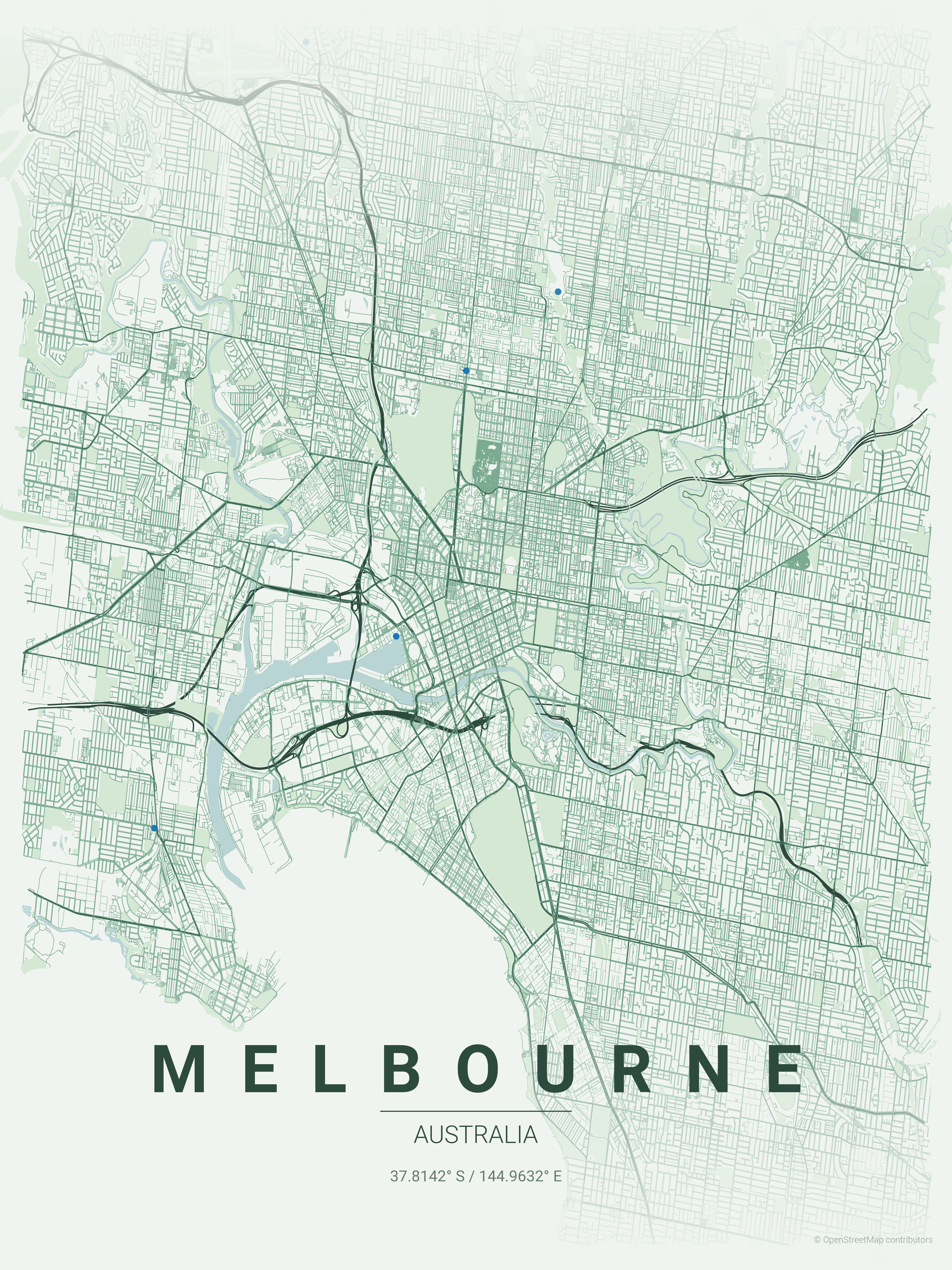
Bristol Map Prints
Vector SVG Export
Infinitely scalable — print at A0, A1, or any custom size.
300 DPI PNG
2400×3400px. Ready for any professional print shop.
17 Curated Themes
From Noir to Neon Cyberpunk — choose what fits your space.
Real OpenStreetMap Data
Every street in Bristol sourced in real time.
Technical Specifications
Technical Specifications
Map Download Specs
| Export Formats | Vector SVG · High-Res PNG |
| PNG Resolution | 2400 × 3400 px · 300 DPI |
| SVG Quality | Infinitely scalable vector |
| Print Sizes | A0 · A1 · A2 · 50×70 cm · 24×36 in |
| Colour Themes | 17 curated artistic styles |
| Map Data | OpenStreetMap (real-time) |
| Processing | Browser-based · No upload |
| Price | Free — no account required |
Map data © OpenStreetMap contributors · ODbL License · isBasedOn: openstreetmap.org
FAQ
Frequently Asked Questions
How does the Clifton Suspension Bridge area look on maps?
The Avon Gorge and Clifton Suspension Bridge create a dramatic natural feature cutting through the city. The Georgian terraces of Clifton and Hotwells along the gorge make stunning map prints.
Can I show Bristol's famous floating harbour?
Absolutely! The historic floating harbour is Bristol's most distinctive feature. You can zoom to show the harbourside regeneration, the historic docks, and the waterfront areas that define modern Bristol.
What makes Bristol maps special for wall art?
Bristol's combination of the dramatic Avon Gorge, the historic floating harbour, and the confluence of the Avon and Frome rivers creates unique topographical patterns unlike any other UK city.
Explore More Cities
Ready to Start?
Generate Your Bristol Map
Free. No account. Vector SVG + 300 DPI PNG. Any city. Instant download.
Coordinates: 51.4545, -2.5879
Generate Free Bristol Map Poster