Coordinates
53.8008, -1.5491
Population
800,000+ (metro)
Area
487 km²
Founded
1207
The Urban Fingerprint
“Leeds offers a mix of historic streets and modern avenues, making it ideal for city map art. A custom Leeds map print captures the essence of the city, perfect for home, office, or gifting.”
Leeds (centre: 53.8008°N, 1.5491°W) grew as a centre of the wool trade: the River Aire and Leeds-Liverpool Canal create east-west linear corridors while Victorian radial roads fan outward from the city core. The historic Corn Exchange, Victorian arcades, and waterfront regeneration at Granary Wharf all contribute distinctive patterns. Leeds' compact grid density makes it excellent for detailed map prints at A2 or A1 format.
Interior Styles That Work
Recommended Theme
Terracotta
Our editors' pick for Leeds's unique street character and architectural heritage.
What You Get
Professional Grade
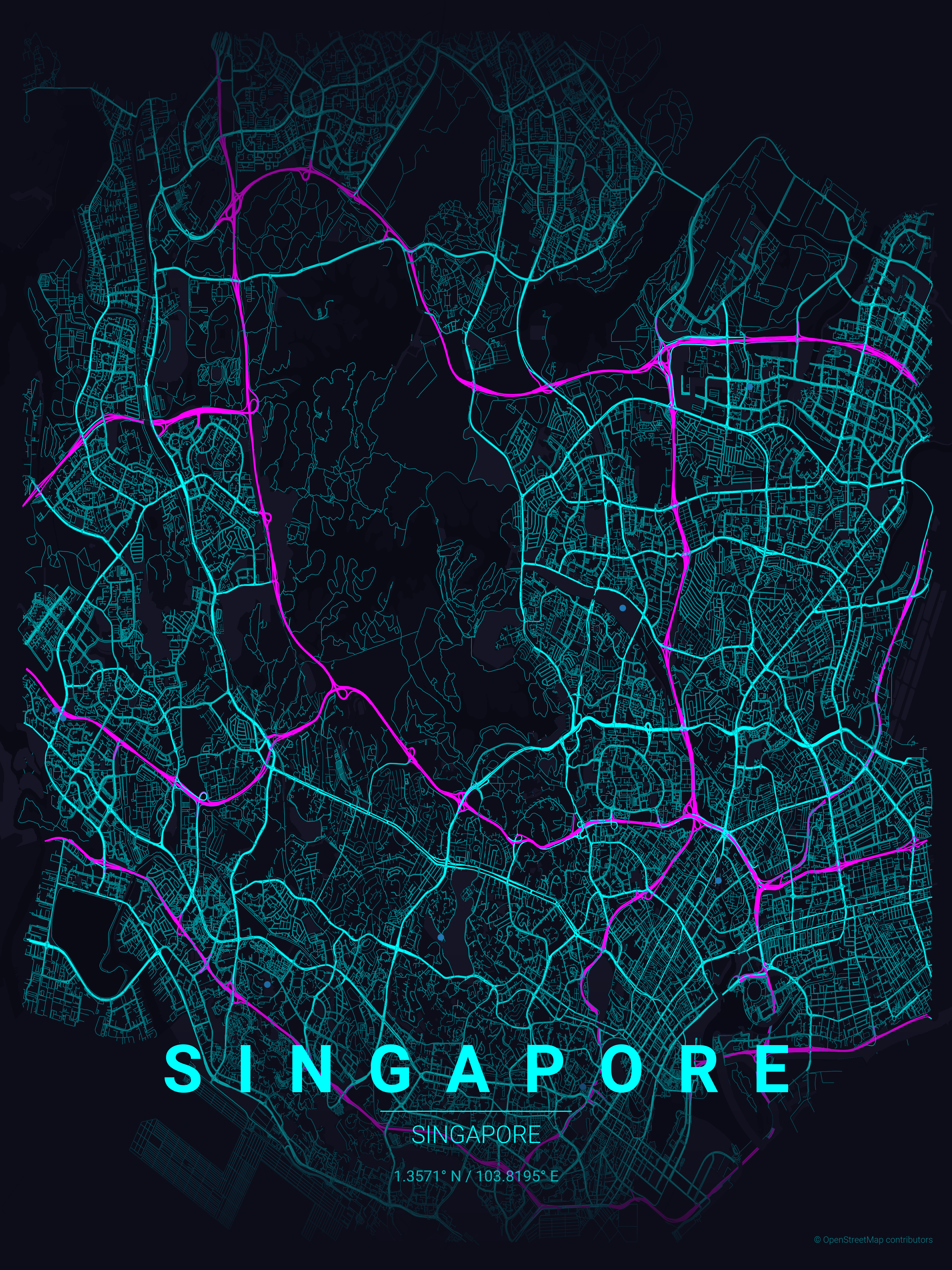
Leeds Map Prints
Vector SVG Export
Infinitely scalable — print at A0, A1, or any custom size.
300 DPI PNG
2400×3400px. Ready for any professional print shop.
17 Curated Themes
From Noir to Neon Cyberpunk — choose what fits your space.
Real OpenStreetMap Data
Every street in Leeds sourced in real time.
Technical Specifications
Technical Specifications
Map Download Specs
| Export Formats | Vector SVG · High-Res PNG |
| PNG Resolution | 2400 × 3400 px · 300 DPI |
| SVG Quality | Infinitely scalable vector |
| Print Sizes | A0 · A1 · A2 · 50×70 cm · 24×36 in |
| Colour Themes | 17 curated artistic styles |
| Map Data | OpenStreetMap (real-time) |
| Processing | Browser-based · No upload |
| Price | Free — no account required |
Map data © OpenStreetMap contributors · ODbL License · isBasedOn: openstreetmap.org
FAQ
Frequently Asked Questions
How do Leeds' Victorian arcades appear on maps?
While individual buildings don't show, the Victorian Quarter's distinctive street pattern and the density of central Leeds create interesting urban patterns. The area around the Corn Exchange and historic Cloth Hall shows fascinating detail.
Can I show the River Aire on my Leeds map?
Yes! The River Aire and Leeds-Liverpool Canal create distinctive linear features through the city. The waterfront regeneration areas and canal basin make interesting focal points.
Which Leeds areas are popular for map prints?
The city centre with its radial routes is most popular. Chapel Allerton, Headingley, and other historic neighbourhoods each have distinctive street patterns. University students often love maps of Hyde Park and the campus area.
Explore More Cities
Ready to Start?
Generate Your Leeds Map
Free. No account. Vector SVG + 300 DPI PNG. Any city. Instant download.
Coordinates: 53.8008, -1.5491
Generate Free Leeds Map Poster